Your own bathymetry layer
Import depth data from your fishfinder or Deeper and use it as an overlay to recognize drop-offs, plateaus and channels.
Water insight & map layers
CarpAtlas does not include universal depth maps. If you have your own fishfinder or Deeper data, you can use it to strengthen your water map. After import, depth information helps reveal drop-offs, plateaus, channels, shallows and interesting zones. The real value appears when depths are combined with spots, catches, wind, pressure and bait choices.
Import depth data from your fishfinder or Deeper and use it as an overlay to recognize drop-offs, plateaus and channels.
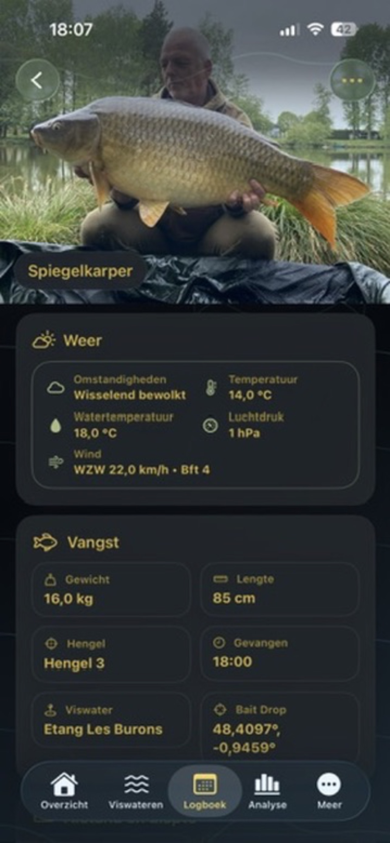
Use autofill for weather and conditions when available, so every session remains comparable later.
Plan multi-day sessions and record movements within one session when spot, baiting area or setup changes.
The app becomes stronger as you record more complete sessions and catches: history turns into practical support.
Fishfinder & Deeper
CarpAtlas does not include universal depth maps. If you have your own fishfinder or Deeper data, you can use it to strengthen your water map.
The user imports their own fishfinder or Deeper data, so it is clear where the bathymetry comes from.
After import, depth information helps reveal drop-offs, plateaus, channels, shallows and interesting zones.
The real value appears when depths are combined with spots, catches, wind, pressure and bait choices.
The app does not replace watercraft. It organizes your observations and measured data so you can compare them better.